
Call 651-776-6211 for Quote!
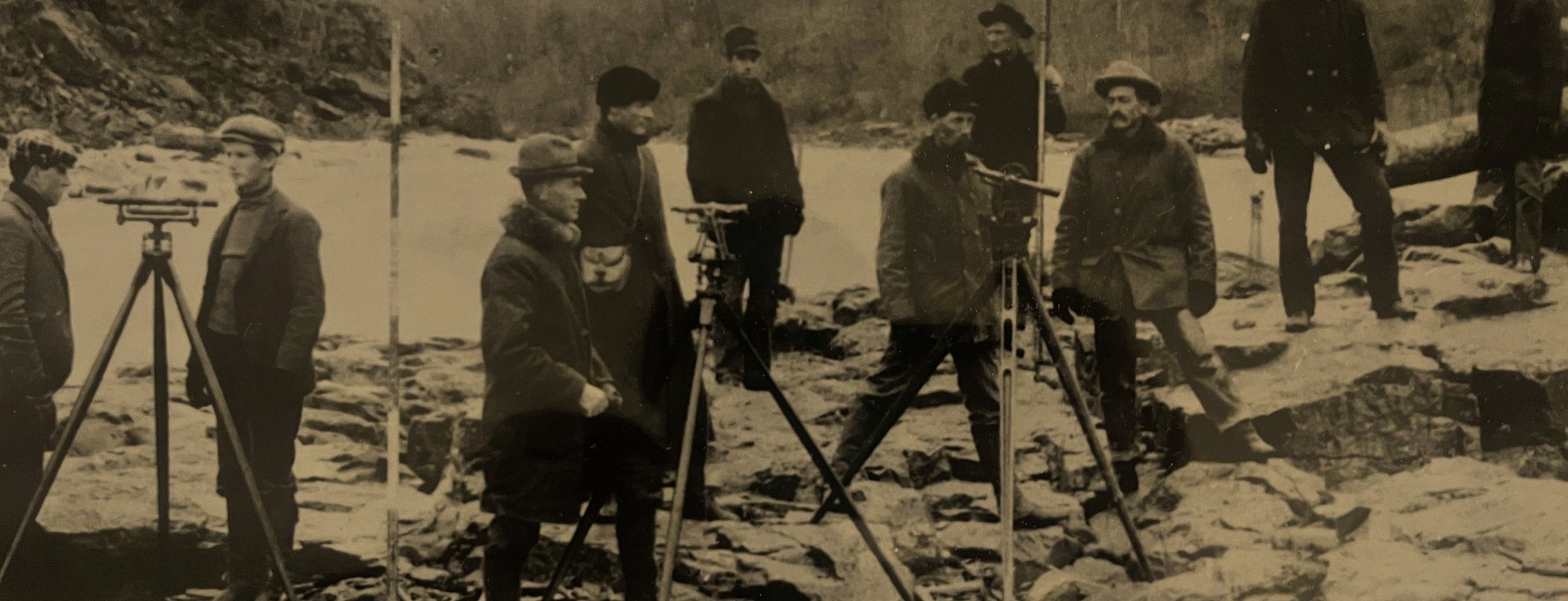
History
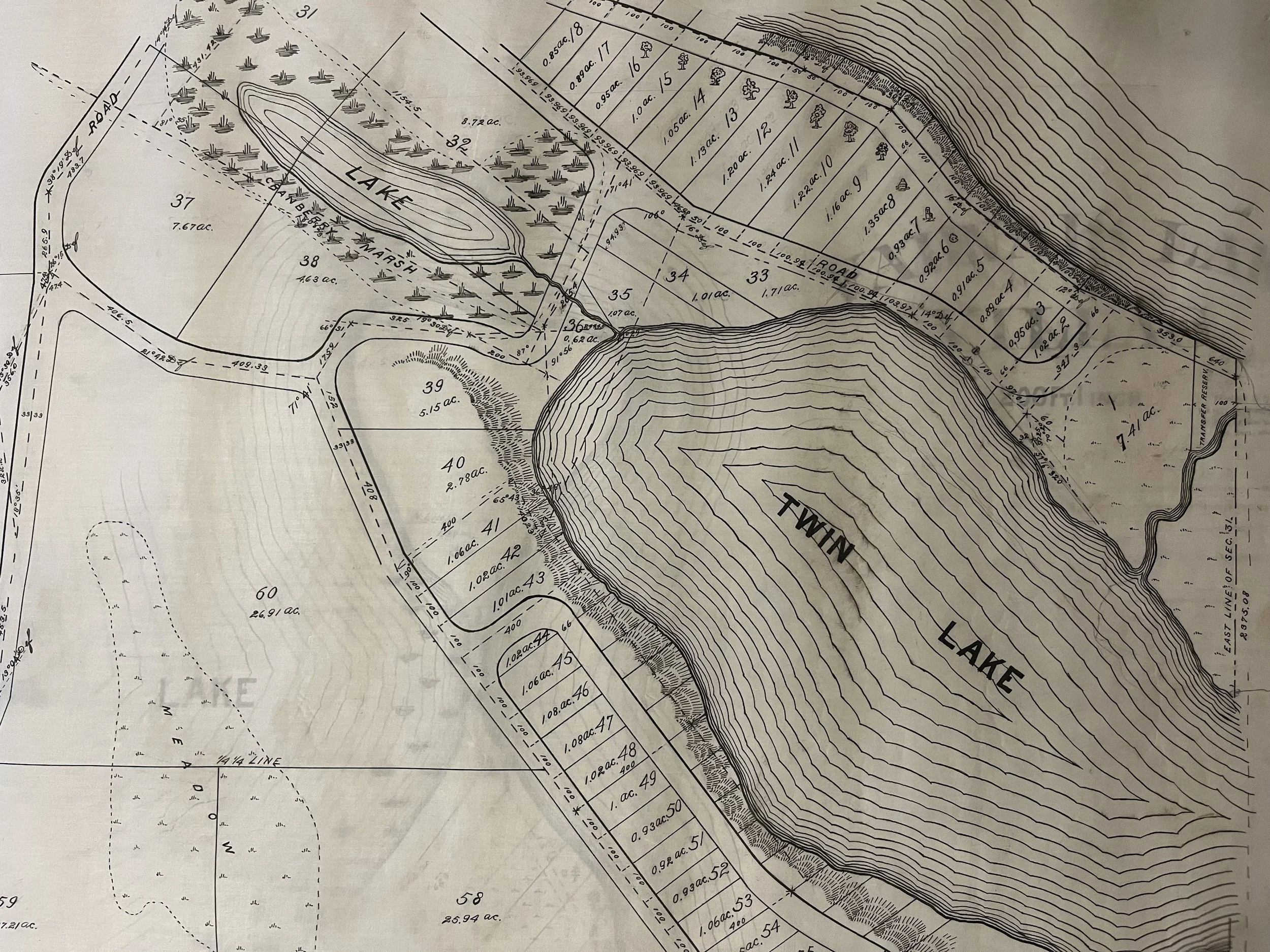
Lake & Land surveying is unique for its comprehensive land survey records going back to the 1860’s.
Our Work
Lake & Land Surveying is a full-service Land Surveying and Civil Engineering firm serving our clients’ needs throughout Minnesota.
Services we offer include boundary surveys, construction staking, ALTA surveys, topographical surveys, lot splits, subdivision platting, site grading, drainage studies and erosion control.
As most engineering / surveying projects are unique, upon requests we will provide a written estimate of costs.
-
Boundary Survey
A boundary survey determines property lines using existing records and field evidence.

-
Subdivision Plat
When subdividing land, platting can simplify the process and may be a requirement.

-
Construction Staking
Construction staking and layout of homes, building and structures

-
Civil Engineering
Proposed site plan and design including a civil engineering drawing set when required.

Customer Reviews
Other Services
Property Development
CIC Plats
ALTA / NSPS Title Surveys
Site and Grading Plans